UN
64 The Street
£ 622,000
Description
We don't have a Description for this property.
- Bedrooms
- 4
- Bathrooms
- 0
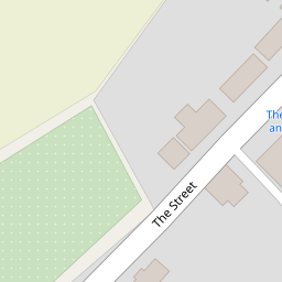
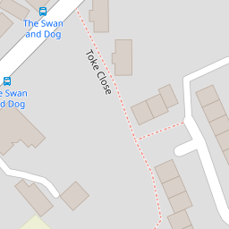


Leaflet © OpenStreetMap contributors
The heatmap indicates the level of crime in the area. The color of the heatmap indicates the crime severity and recency.
Metrics Year-on-Year
- Average area value
- 278,019.00 £Increased by 21.15 %
- Average area rental value
- 919.00 £/moDecreased by 8.01 %
- Est rental Yield
- 3.97 %Decreased by 23.95 %
- Crime Rate
- 4.00 %Unchanged by 0.00 %
from 229,480.00 £
from 999.00 £/mo
from 5.22 %
from 4.00 %
Nearby Schools
| Name | Type | Ofsted | Distance |
|---|---|---|---|
| Great Chart Primary School | Community School | Outstanding | 1.18 KM |
| The Wyvern School (Buxford) | Foundation Special School | Good | 1.44 KM |
| The John Wesley Church Of England Methodist Voluntary Aided Primary School | Voluntary Aided School | Good | 1.44 KM |
| Godinton Primary School | Academy Converter | Good | 1.76 KM |
| Goldwyn School | Foundation Special School | Outstanding | 1.82 KM |
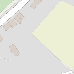
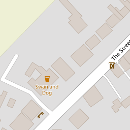
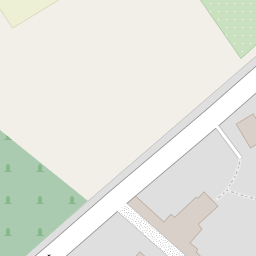
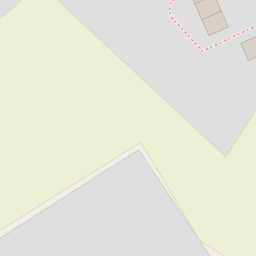
Images
Nearby Streets
| Name | Average Price | Average Sqft | Distance |
|---|---|---|---|
| Great Chart Bypass | £ 0 | 0 | 0.00 KM |
| Bay Side | £ 402,778 | 0 | 0.00 KM |
| Rowan Close | £ 0 | 0 | 0.00 KM |
| Lilac Court | £ 0 | 0 | 0.00 KM |
| Hedgers Way | £ 420,995 | 0 | 0.00 KM |
Nearby Transport
| Name | NLC | TLC | Distance |
|---|---|---|---|
| Ashford International | 5004 | AFK | 4.92 KM |
| Charing (Kent) | 5097 | CHG | 8.51 KM |
| Ham Street | 5037 | HMT | 8.74 KM |
| Pluckley | 5225 | PLC | 9.43 KM |
Nearby Listings
| Address | Price | Type | Score | Distance |
|---|---|---|---|---|
| The Street, Great Chart, Ashford, Kent, TN23 | £ 410,000 | BUY | Unknown | 0.04 KM |
| Padwell Lane, Great Chart, Ashford, Kent, TN23 | £ 425,000 | BUY | 6 / 10 | 0.19 KM |
| Marmion Way, Ashford, Kent, TN23 5HY | £ 330,000 | BUY | 6 / 10 | 0.37 KM |
| Marmion Way, Singleton, Ashford, TN23 | £ 375,000 | BUY | 7 / 10 | 0.37 KM |
| Chater Close, Ashford | £ 200,000 | BUY | Unknown | 0.42 KM |
Nearby Properties
| Address | Price | Distance |
|---|---|---|
| 64 The Street | £ 622,000 | 0.00 KM |
| Walnut Tree Cottage | £ 420,000 | 0.01 KM |
| 3 Forge Cottages | £ 255,000 | 0.19 KM |
| 2 Forge Cottages | £ 160,000 | 0.19 KM |
| Grove Cottage | £ 247,500 | 0.24 KM |